High-fidelity mapping for resilient stewardship
Resilient land stewardship requires moving beyond static snapshots to dynamic, millimetre-accurate geospatial models. BunjilView combines survey-grade assessments—aligned to the Australian Height Datum (AHD)—with advanced remote sensing to monitor erosion, water levels, and heritage sites with exceptional detail.
Stewardship & connection to Country
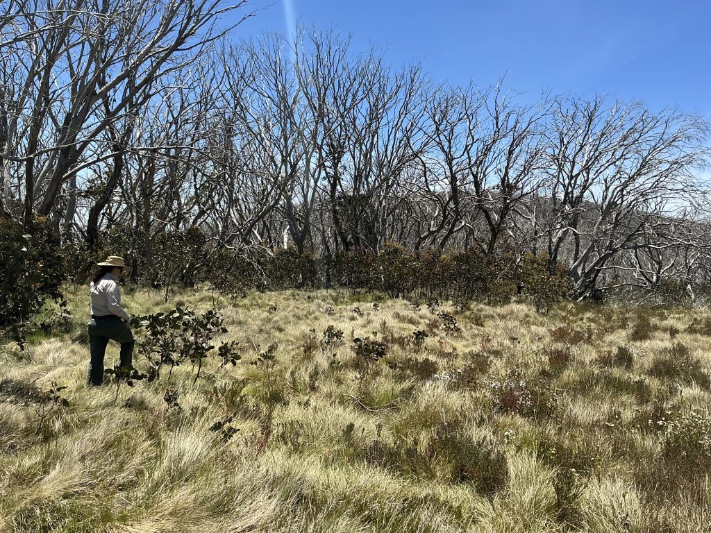
Precision is a tool for protection. High-fidelity mapping allows us to clearly define and safeguard sacred sites and ecologically sensitive environments without intrusive ground surveys. By bridging advanced technology with culturally informed practices, we provide the data needed to guide restoration and ensure the long-term health of Country.
Snapshot
Project size: Rapid assessment of up to 500 hectares daily.
Technical aspects: LiDAR, thermal, and hyperspectral mapping integrated with AHD.
Impact: Smarter ecological decisions, reduced environmental impact, and protected cultural heritage.

