Reducing operational risk in remote landscapes
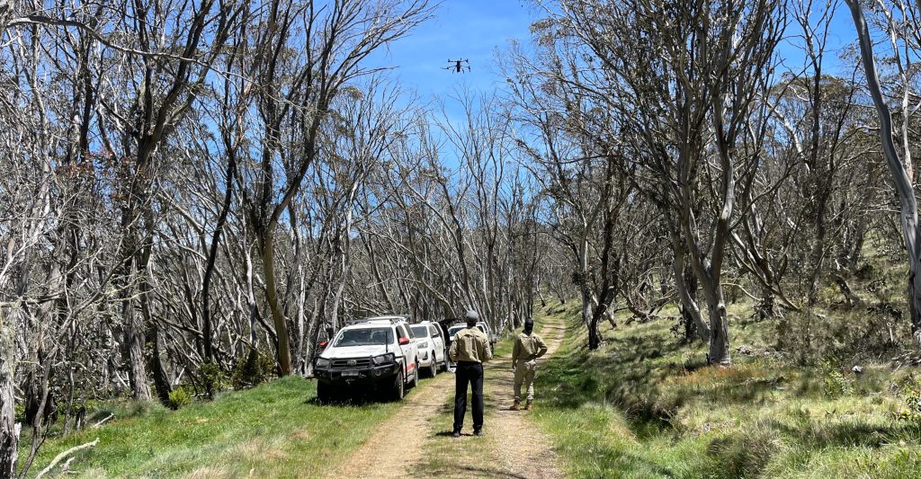
BunjilView minimises risks in land management by replacing high-risk fieldwork with high-fidelity intelligence. By combining remote monitoring and scenario modelling, we reduce the need for in-field inspections in hazardous or sensitive locations—safeguarding personnel, respecting cultural sites, and protecting ecosystems.
Stewardship & connection to Country
Stewardship begins with respect. By minimising physical footfall in remote areas, we reduce the risk of unintentionally disturbing sensitive ecosystems or sacred sites. Through our alignment with the PEM Foundation, BunjilView ensures that risk reduction isn’t just about safety—it’s about embedding socially informed stewardship into everyday land management decisions.
Snapshot
Project size: Up to 500 hectares daily across multiple landholdings and waterways.
Technical aspects: Drone/satellite monitoring, IoT integration, and predictive scenario modelling.
Impact: Safer fieldwork, proactive hazard detection, and socially responsible

